Alberti, Delineation of the City of Rome
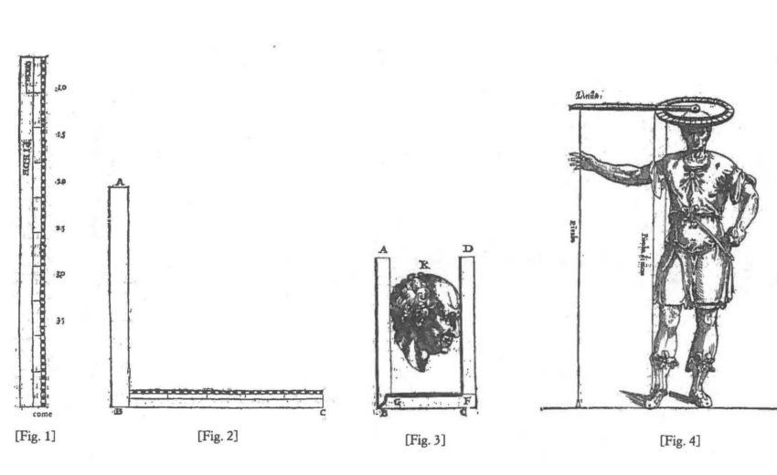
In the 1440s, Leon Battista Alberti carried out a topographical survey of the city of Rome that, he claims, was conducted as accurately as possible using “mathematical tools” (ex mathematicis instrumentis). Around 1450 he published his findings in a small book, entitled Descriptio urbis Romae, which describes a simple technical device, a drawing instrument composed of two graduated parts: a circle, which Alberti calls horizon, and its revolving spoke (called, appropriately, radius), that each reader of his book is expected to use to draw his or her own personal copy of Alberti’s original map of Rome.
Download
Alberti_Delineation of the City of Rome.pdf
Alberti_Delineation of the City of Rome.txt
Alberti_Delineation of the City of Rome.html
Alberti_Delineation of the City of Rome.jpg
Alberti_Delineation of the City of Rome.zip


